
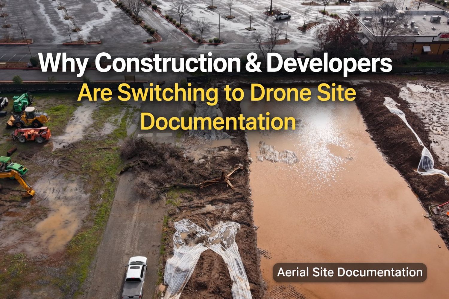
Aerial Visibility for Construction Progress and Site Conditions
Construction Drone Photography & Aerial Site Documentation
Accurate, Aerial Records of Active Construction Sites
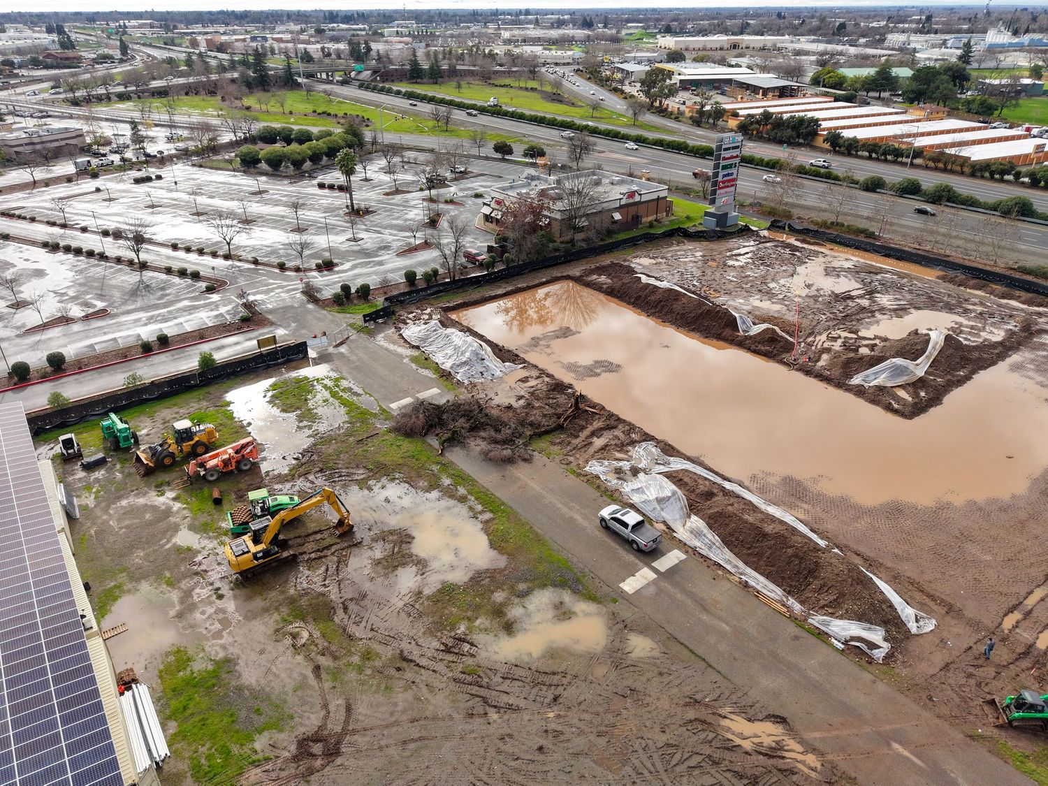
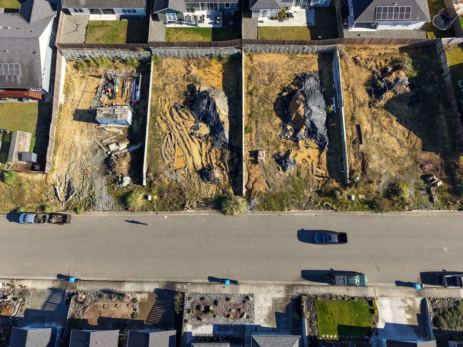
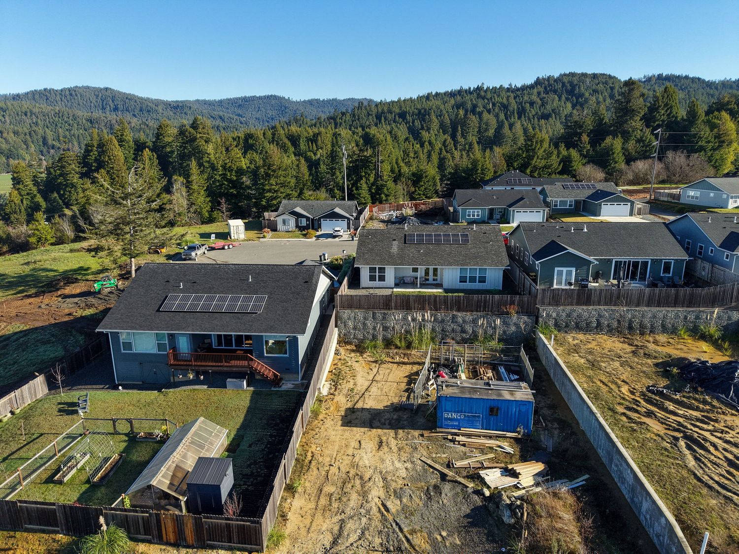
Aerial imagery offers a clear and comprehensive view of construction sites that ground-based photos can’t capture. Drone flights document site conditions, earthwork progress, drainage features, and material staging with consistent, repeatable perspectives. This documentation is especially valuable for recording weather impacts, site delays, and changing conditions, creating a visual record that supports project oversight, insurance claims, and dispute resolution—while reducing the need for frequent site visits.
Drone Documentation for Delays, Disputes, and Insurance Claims
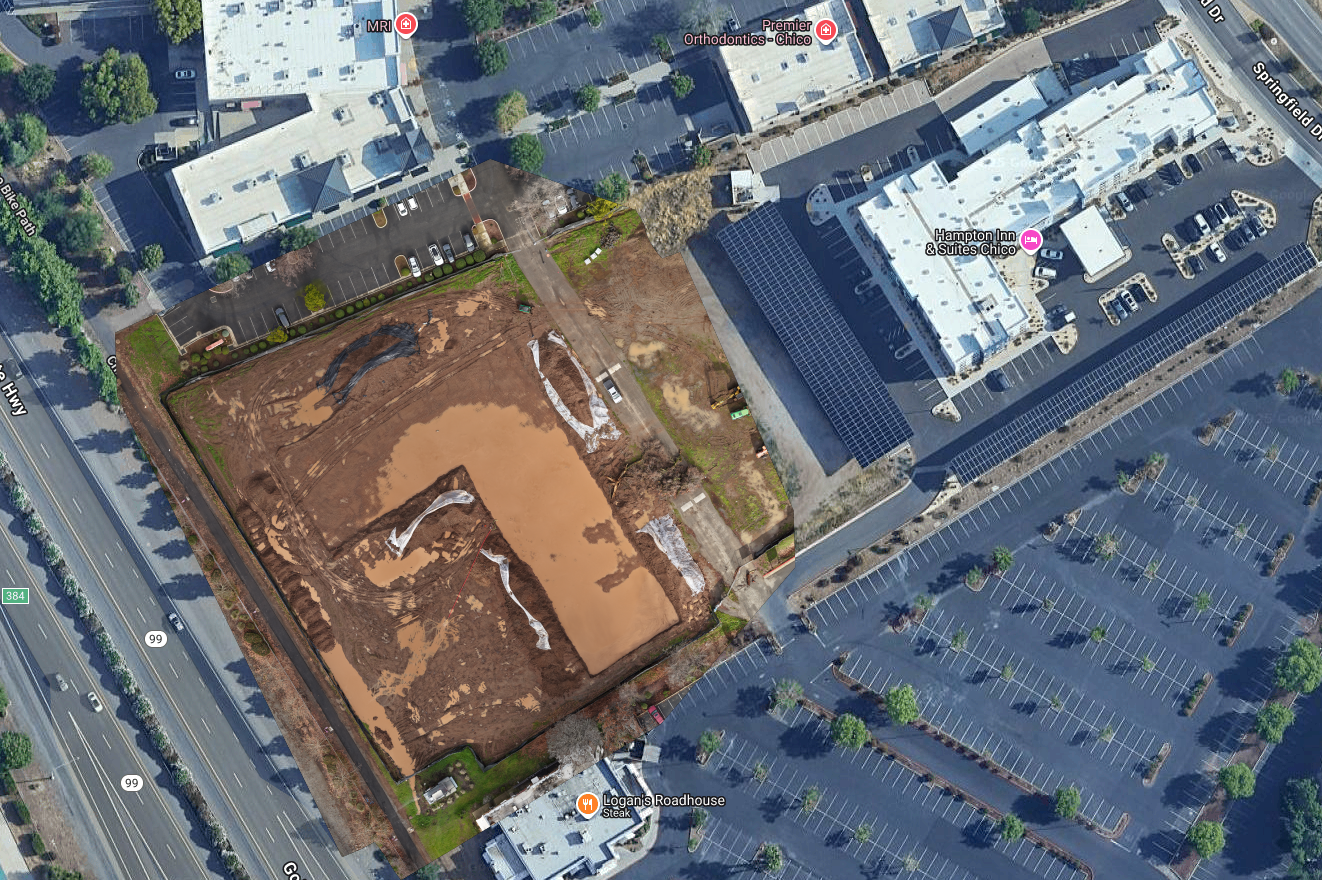
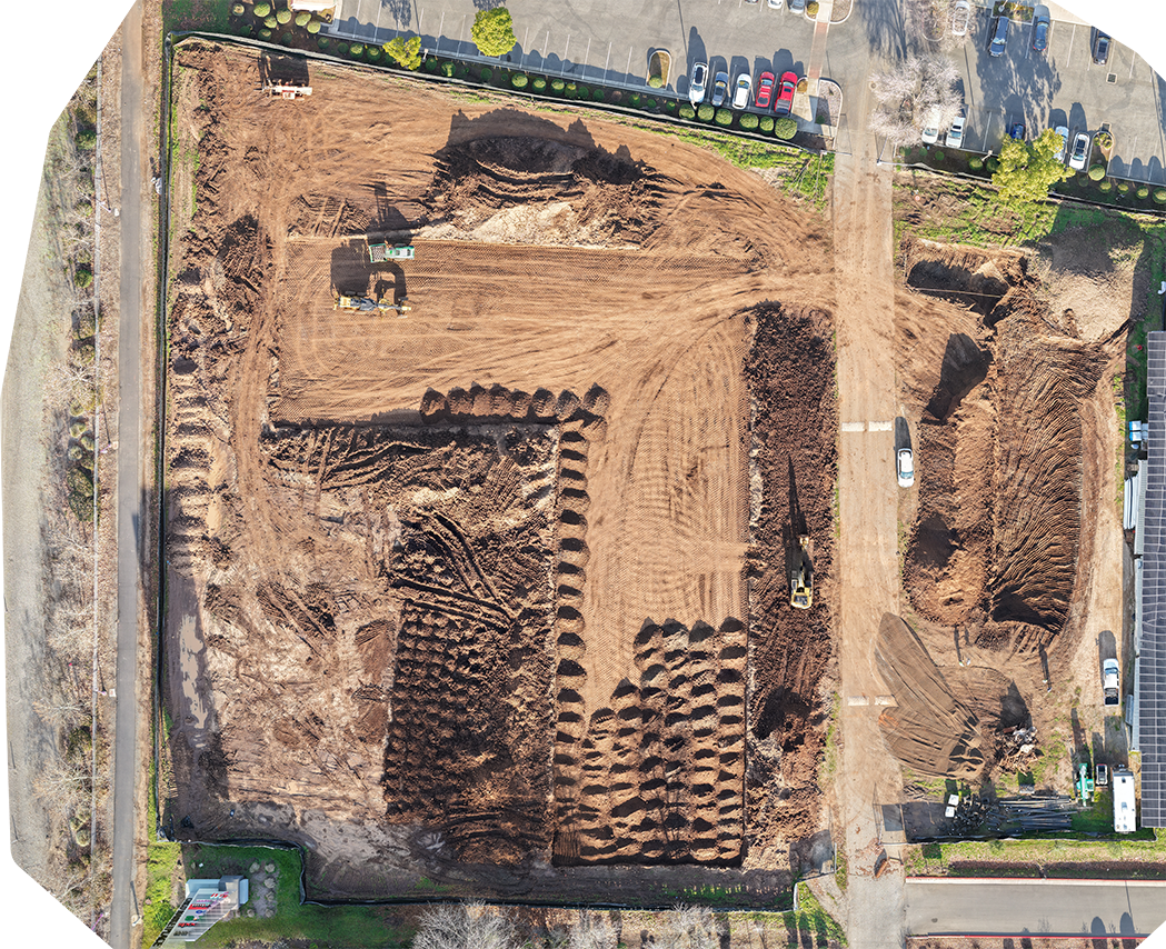
2-D Orthomosaic map.
Construction site showing flood damage - plan view (above)
Same construction site 1 week later - plan view (below)
Springfield Drive and Hwy 99, Chico CA
High Resolution Photographs
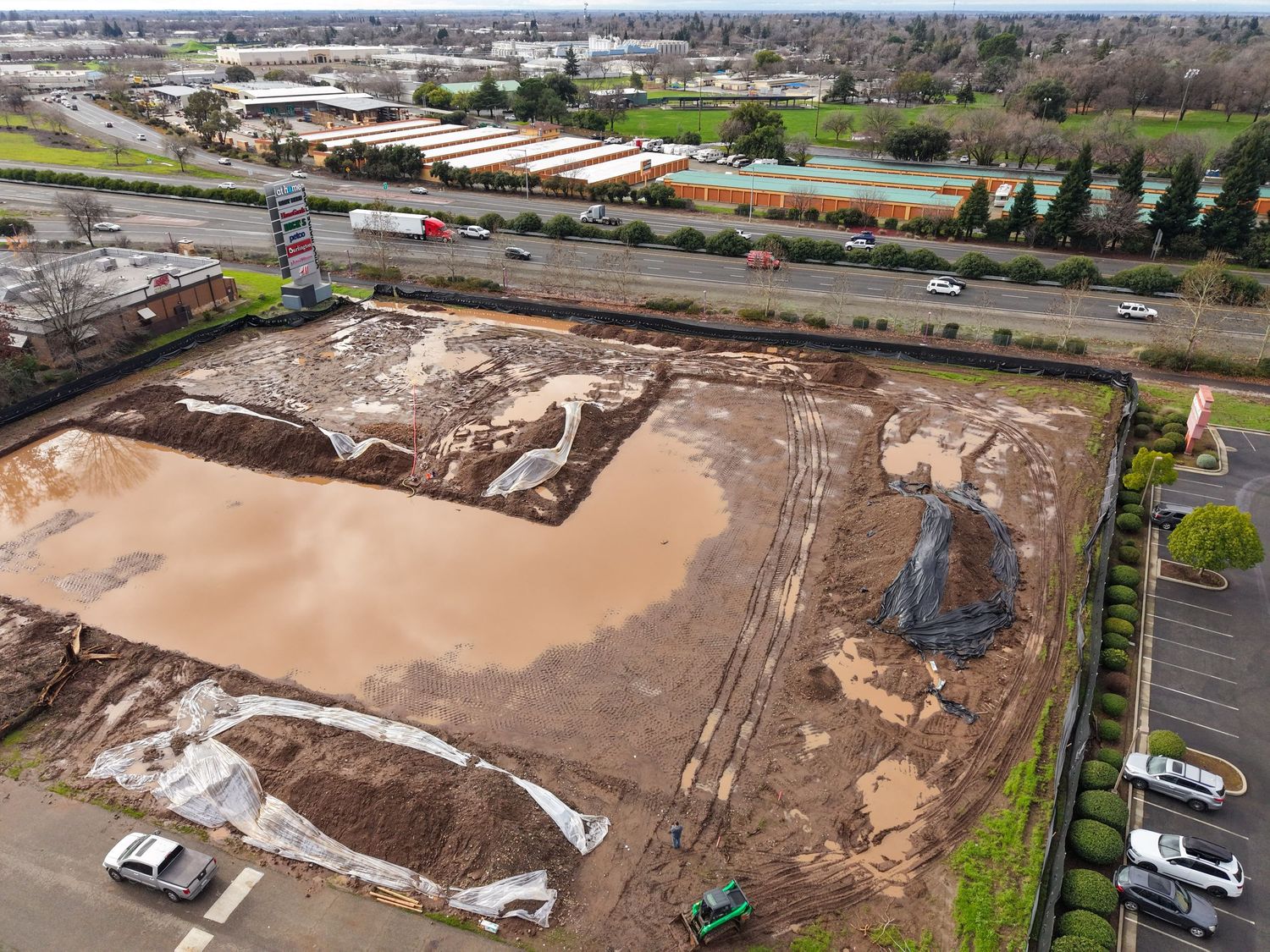
Aerial Visability for Construction Progress and Site Conditions
Consistent Aerial Records for Project Oversite
Hilltop Drive, Fortuna CA.
Limitations of Non-RTK Mapping
Our photogrammetry products are created using standard GPS positioning, which provides consumer-grade accuracy. This level of accuracy is ideal for progress monitoring, change detection, visual documentation with spatial context, approximate area and volume calculations, and identifying site conditions or potential issues.
For survey-grade accuracy, clients should engage a licensed surveyor.