Project Monitoring
Construction & Archaeological Site Monitoring / Recording
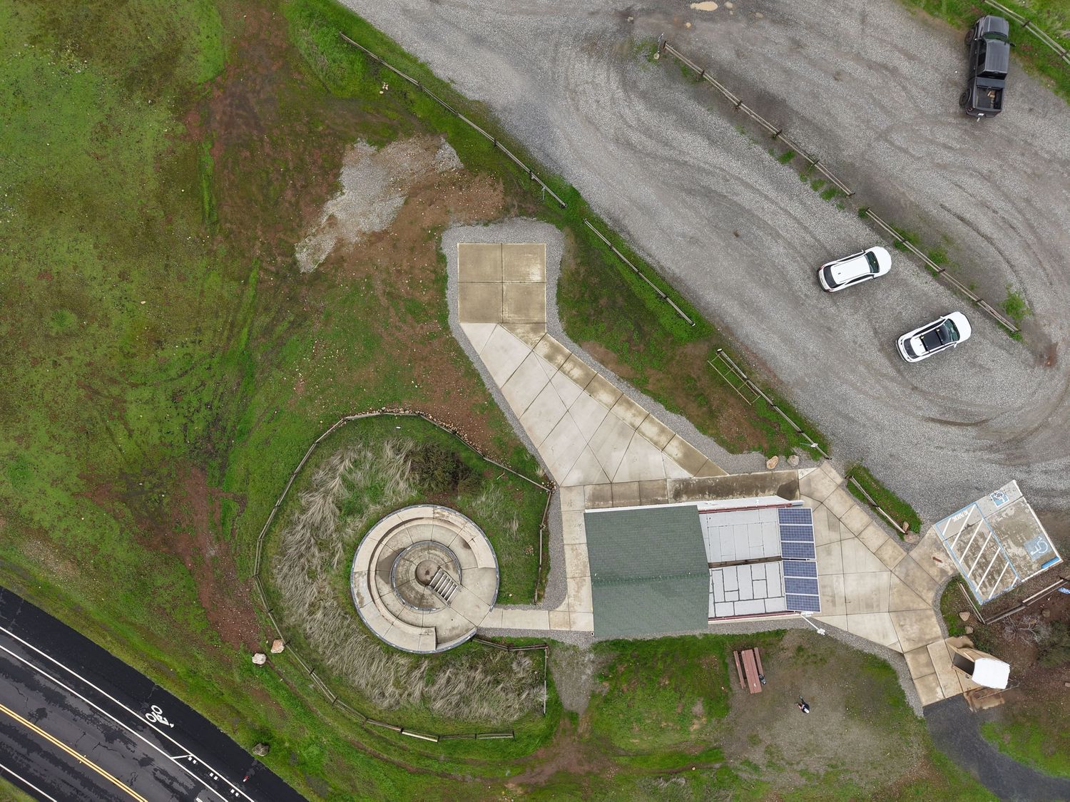
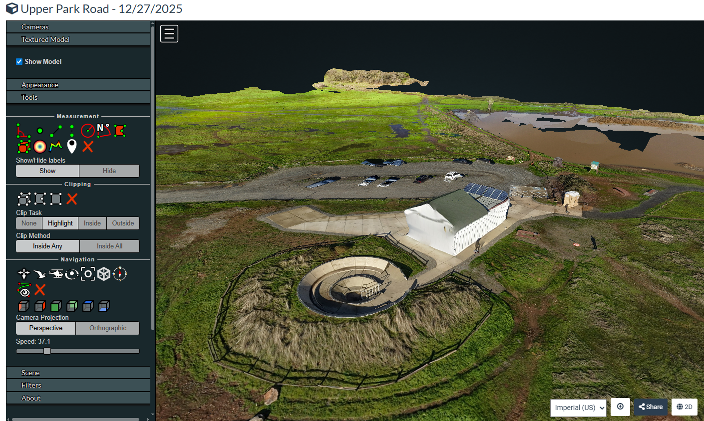
Projects require accurate progress tracking, reliable site condition records, and clear visual documentation of completed work. Traditional approaches rely on on-site personnel, manual measurements, and time-intensive photo management. Drone photogrammetry streamlines this process by converting hundreds of aerial images into precise 2D maps, 3D models, and measurable site records. From construction monitoring to archaeological documentation and historic structure assessment, this approach delivers spatially accurate visual data—faster and more cost-effective than conventional methods.
My company's photogrammetry service uses standard GPS positioning to provide consumer measurement accuracy (error can be ~10–30 ft (~3–9 m) within the mapped area. This level of accuracy is well-suited for progress monitoring and change detection, visual documentation with spatial context, approximate volume estimates and area measurements, and identifying site conditions and potential issues.
Regular drone flights capture your entire site in one efficient session. The resulting maps and imagery provide:
• Progress Documentation: Compare site conditions across weeks or months with overlaid maps showing changes
• Stakeholder Communication: Clear visual reports for owners, contractors, and inspectors
• Site Conditions: Document pre-construction baseline, drainage patterns, stockpile volumes, and access routes
• Problem Identification: Identify potential issues from an aerial perspective before they become costly
• Record Keeping: Permanent visual archive with accurate measurements for dispute resolution
Deliverables are provided in:
2D Orthomosaic Maps: Geometrically corrected aerial images that function like maps, with accurate distances and areas
• Point Clouds: Dense 3D coordinate data representing site features and surfaces
• Elevation Models: Digital representations of terrain and surface heights
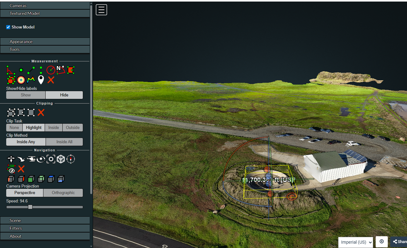
• Measurements & Annotations: Direct distance, area, and volume measurements on your deliverables
• Comparison Overlays: Visual progress tracking between site visits
What You Receive
Standard Deliverable Package:
• Georeferenced 2D orthomosaic map of your site
• High-resolution aerial photography collection
• Aerial video documentation
• Flight Report
• Digital files in standard formats (GeoTIFF, JPG, KML)
Timeline: 48-hour delivery from flight date
Optional Add-ons:
• Point cloud data for 3D analysis
• Progress comparison between multiple site visits
• Specific feature documentation
All flights are conducted under FAA Part 107 commercial drone certification with full liability insurance coverage.
This service is designed for visual documentation and change detection—not for legal surveying or engineering certification requiring centimeter-level precision. For applications requiring survey-grade accuracy (centimeter-level precision) or legal boundary determinations, we recommend engaging a licensed land surveyor.
Contact: Lori@LoriHarrington@Aerial.com (530)521-8046