Real-World Applications of Professional Drone Mapping
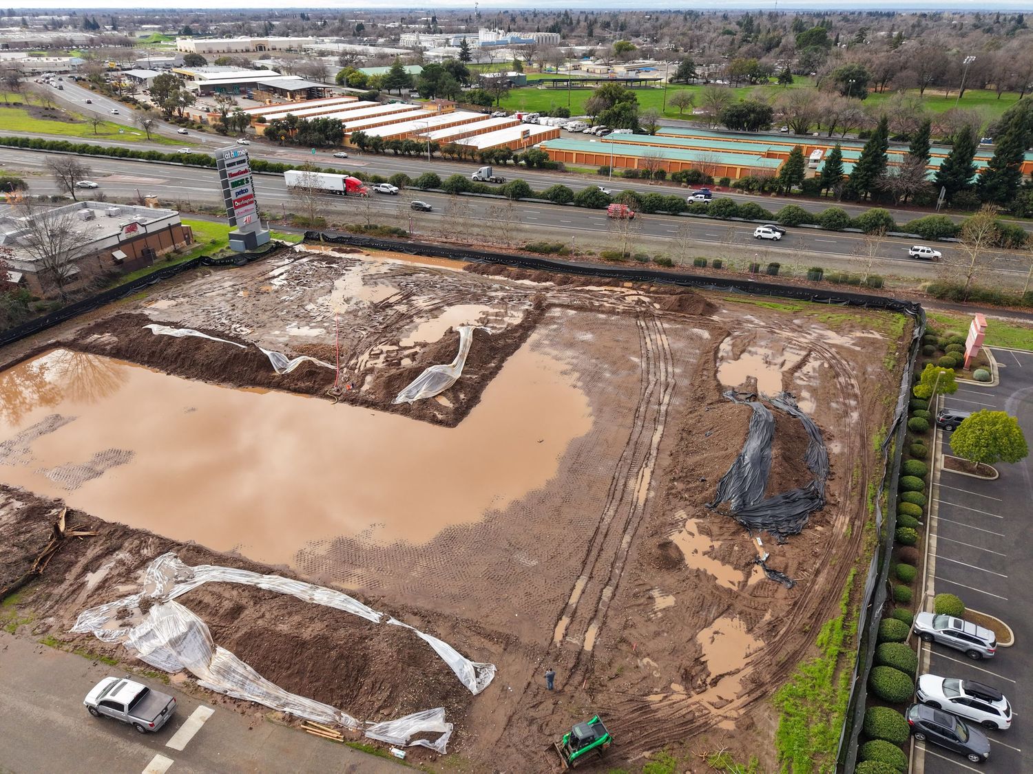
These use case examples demonstrate how professional drone and aerial survey services support accurate documentation, analysis, and decision-making across multiple industries. From roof and property surveys to 2D and 3D modeling, historic building documentation, and agricultural planning, these examples represent a portion of how drone photogrammetry can be applied to real-world projects.
AerialSurvey USe CAse Examples
Roof & Property Surveys
Drone Roof and Property Survey Applications
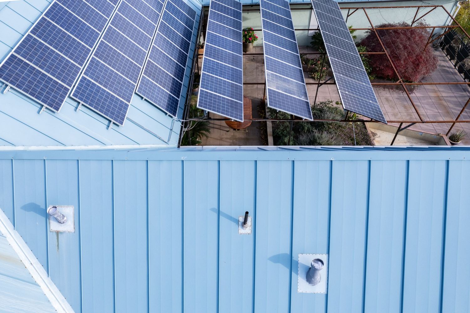
Drone-based roof and property surveys provide a comprehensive aerial perspective that improves accuracy while reducing time and on-site risk. High-resolution imagery and georeferenced data allow for precise measurements, condition assessments, and documentation suitable for construction planning, inspections, and property management.
2D & 3D Modeling from Drone Photography
2D Orthomosaic Maps and 3D Site Models
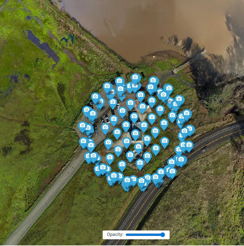
Using drone photography, 2D orthomosaic maps and 3D models are generated to support measurements, area calculations, and spatial analysis. These data products provide clear visualization for planning, reporting, and presentations across engineering, development, and land management projects.
Agricultural Applications
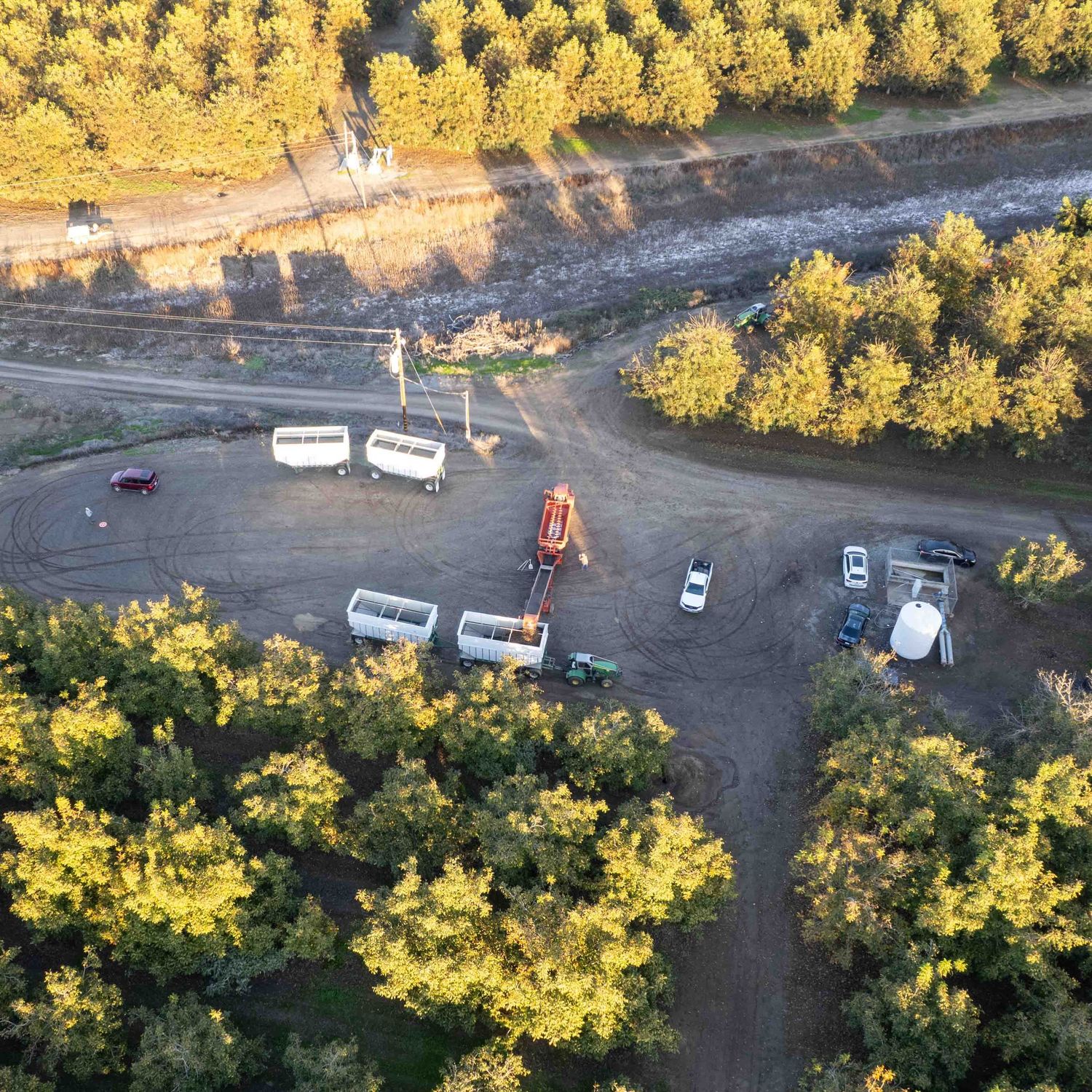
Drone Surveys for Agricultural Planning and Harvest Analysis
In agricultural settings, drone mapping supports crop assessment, field analysis, and harvest planning. High-resolution aerial data helps identify field conditions, monitor changes over time, and inform management decisions that improve efficiency and yield.
Historic Building Documentation
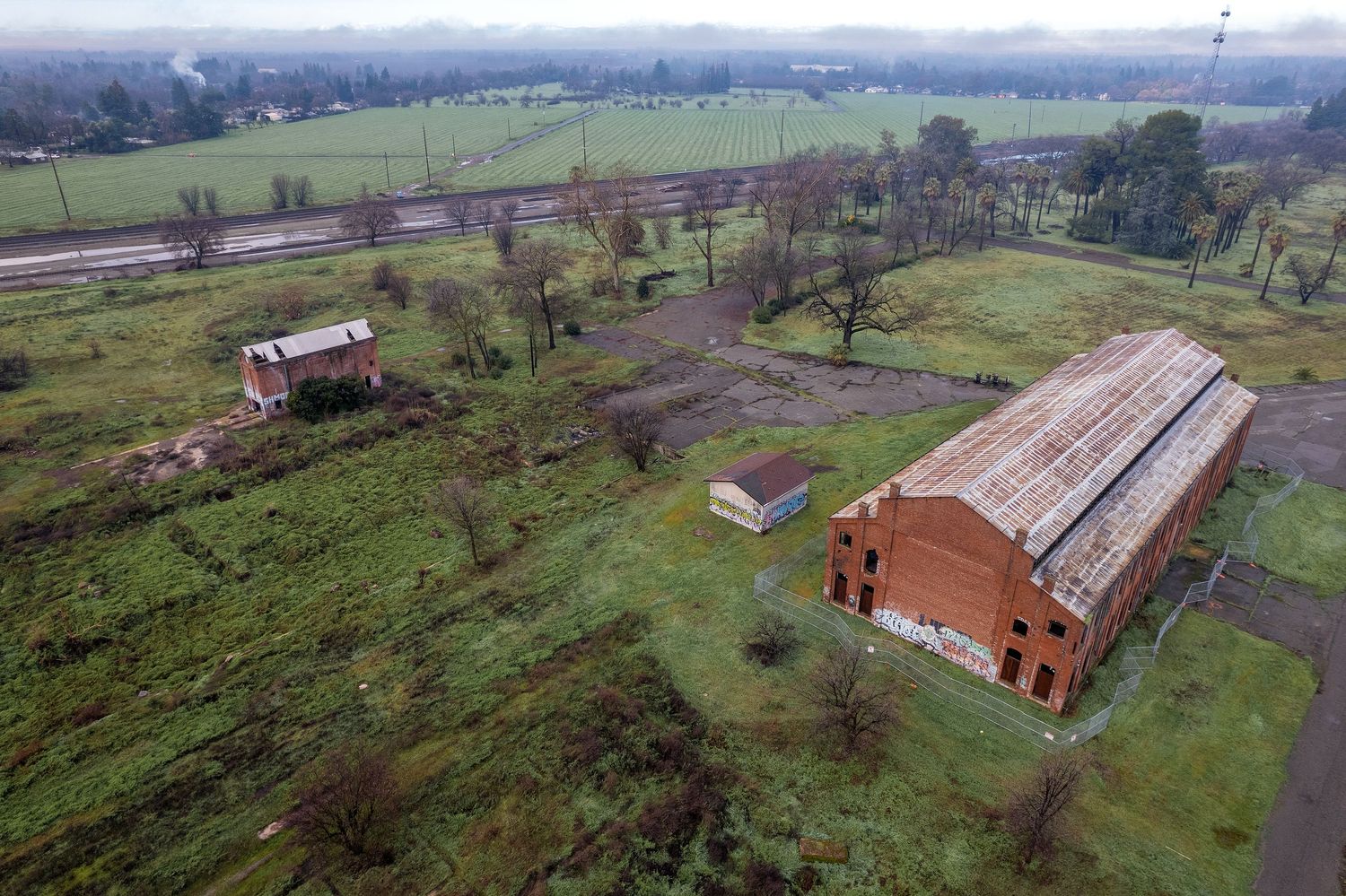
Historic Building and Cultural Resource Documentation
Drone surveys offer a non-invasive method for documenting historic buildings and cultural resources. Aerial imagery and 3D models support preservation planning, condition assessments, and regulatory documentation while minimizing physical impact to sensitive structures.