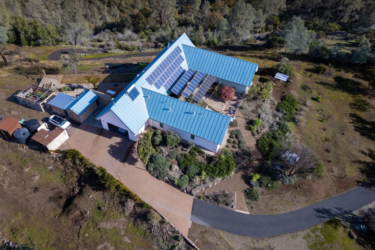
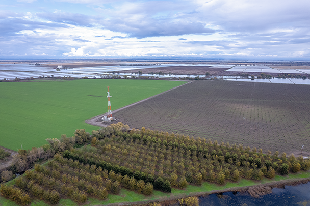
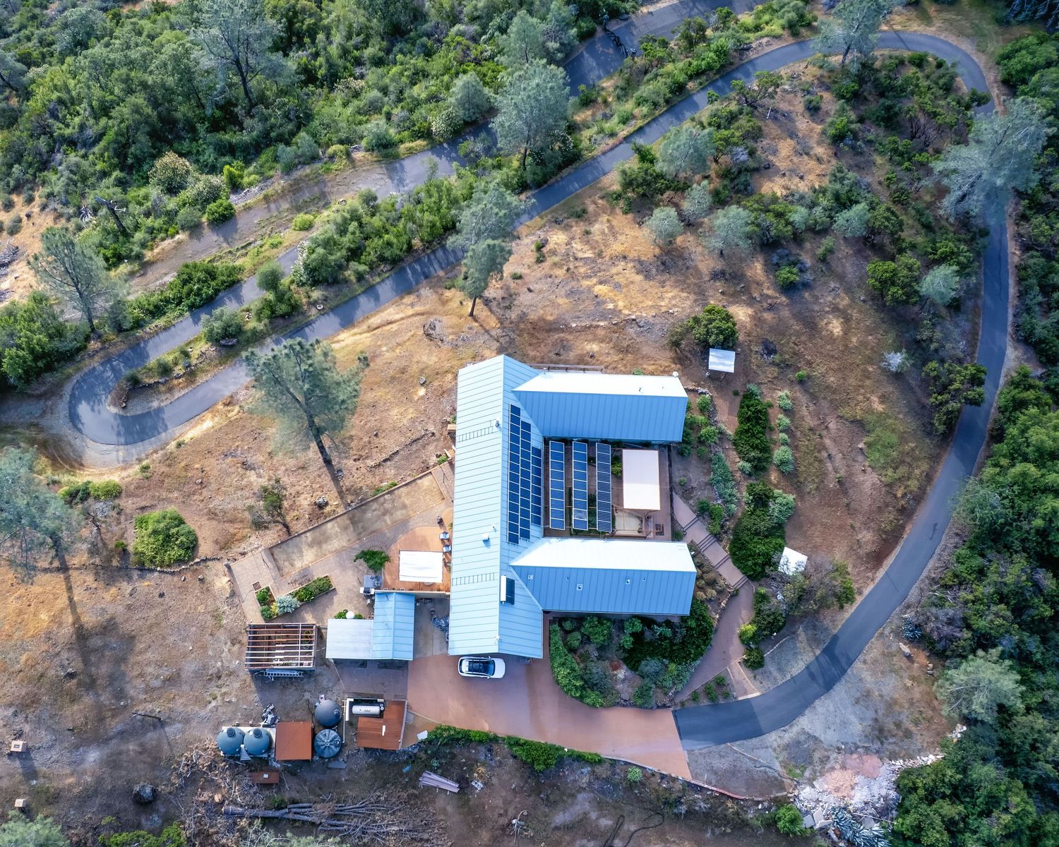
Specializing in aerial photography and Archaeological Surveys.
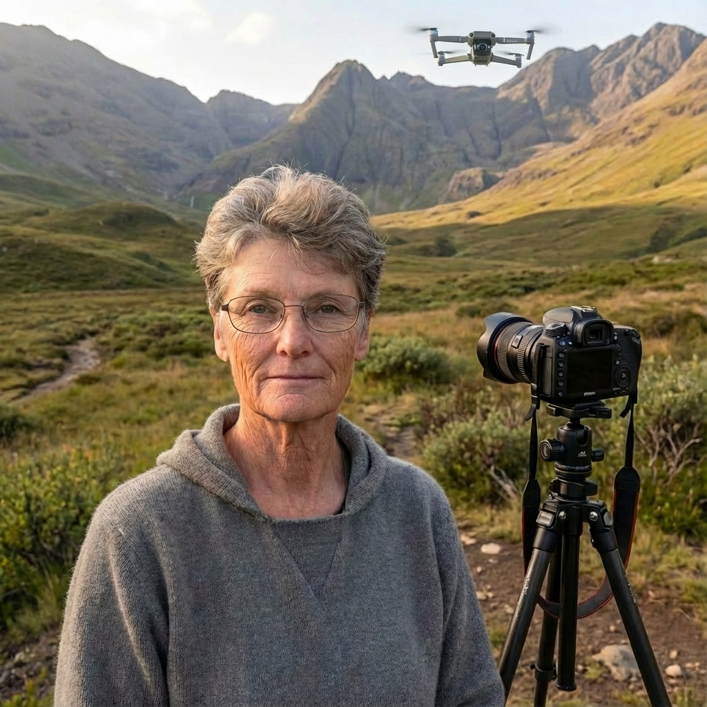
Lori Harrington (M.A., RPA), owner of Aerial 7 Archaeological Surveys, combines 35 years of experience in archaeological research and cultural resource management with advanced drone photogrammetry capabilities. This unique combination provides clients with technically accurate mapping AND expert interpretation of cultural landscapes and archaeological features.
Professional Experience:
Registered Professional Archaeologist (RPA)
35 years of archaeological fieldwork and CRM consulting
FAA Part 107 Certified Remote Pilot
Professional photography background (15 years)
Expertise in Section 106 compliance, NRHP documentation, and cultural resource assessment
Technical Capabilities:
Professional drone platform
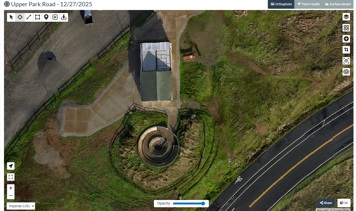
Sub-2cm accuracy orthomosaic mapping
Multi-angle 3D photogrammetry
GIS-compatible deliverables
Professional processing software
Service Area:
Northern California (Chico, Redding, Sacramento regions), but willing to work outside of the North State.
Industries Served:
Cultural resource management firms
Archaeological consulting companies
Construction and development contractors
Legal professionals (property disputes, litigation support)
Historic preservation organizations
Contact Information
Feel free to reach out using any of the methods below. We will get back to you as soon as possible to discuss your project.
Phone number
1.530.521.8046
Lori@LoriHarringtonAeriall.com
Social Media