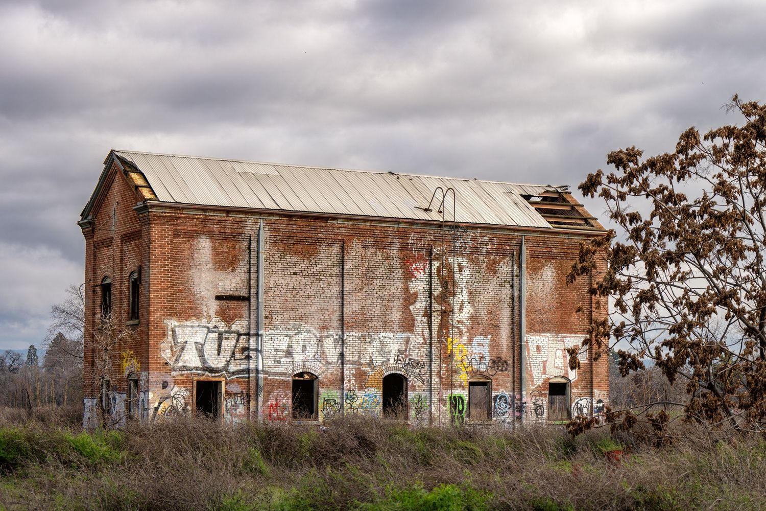
Archaeological Site Documentation
Aerial Photography
Archaeological projects require detailed site mapping, feature documentation, and accurate records of the excavation progress. Traditional methods involve time-consuming hand measurements, total station surveys, and limited visual context for features.
Drone photogrammetry creates comprehensive site records combining visual documentation with measurable spatial data:
• Pre-Excavation Site Mapping: Document existing conditions and topography before ground disturbance
• Excavation Monitoring: Create sequential maps showing excavation progress, stratigraphy, and feature exposure
• Feature Documentation: Generate detailed plans and elevation views of archaeological features, structures, and artifact distributions
• Context Recording: Provide spatial relationships between features across the entire site
• Report Integration: Deliverable maps and images ready for integration into archaeological reports and publications
• Public Archaeology: Compelling aerial imagery for community presentations and stakeholder engagement
With extensive applications in CRM survey documentation, research excavation records, site monitoring and management, historic landscape analysis, and tribal consultation materials, this approach supports both regulatory compliance and long-term research goals.
Historic Architecture Documentation
Historic structures require detailed condition assessments, preservation planning documentation, and ongoing monitoring. Accessing upper stories, rooflines, and architectural details often requires scaffolding, lifts, or risky ladder work.
Safe, comprehensive documentation of historic buildings and structures from multiple perspectives:
• Condition Assessment: Document roof conditions, masonry deterioration, structural issues, and areas requiring attention—without physical access
• Elevation Mapping: Create accurate elevation views of all building facades for preservation planning
• Detail Documentation: Capture high-resolution imagery of architectural features, ornamental elements, and problem areas
• Before/After Records: Document conditions before and after restoration work with comparable spatial accuracy
• HABS/HAER Support: Provide aerial imagery and site context for Historic American Buildings Survey documentation
• Maintenance Planning: Regular monitoring flights to track deterioration patterns and prioritize preservation work.
What You Receive
Standard Deliverable Package:
• Georeferenced 2D orthomosaic map of your site
• High-resolution aerial photography collection
• Aerial video documentation
• Digital files in standard formats (GeoTIFF, JPG, KML)
Timeline: 48-hour delivery from flight date
Optional Add-ons:
• Point cloud data for 3D analysis
• Progress comparison between multiple site visits
• Customized measurement reports
• Specific feature documentation
Let's Discuss Your Project
Every site presents unique documentation challenges. Whether you need one-time project records or regular monitoring over months, we'll work with you to determine the right approach for your requirements and budget.
Contact us to discuss:
• Your project scope and documentation needs
• Deliverable options and formats
• Timeline and scheduling
• Introductory project pricing
Lori@LoriHarringtonAerial.com
530.521.8046
These deliverables provide relative spatial accuracy using standard GPS positioning, which is ideal for project monitoring, documentation, and visual analysis. This service is designed for visual documentation and change detection, not for legal surveying or engineering certification requiring centimeter-level precision.