Drone-Based Documentation for Historic Buildings and Cultural Resources
Discover how professional drone survey technology can transform the documentation of historic structures. This example video demonstrates our ability to capture comprehensive aerial imagery and generate detailed visual records of heritage architecture from every angle. Using precision drone photogrammetry, we produce accurate, high-resolution data that supports preservation planning, condition assessment, and archival documentation—providing insights that traditional methods alone cannot achieve.
Accurate, Non-Invasive Documentation for Historic Structures
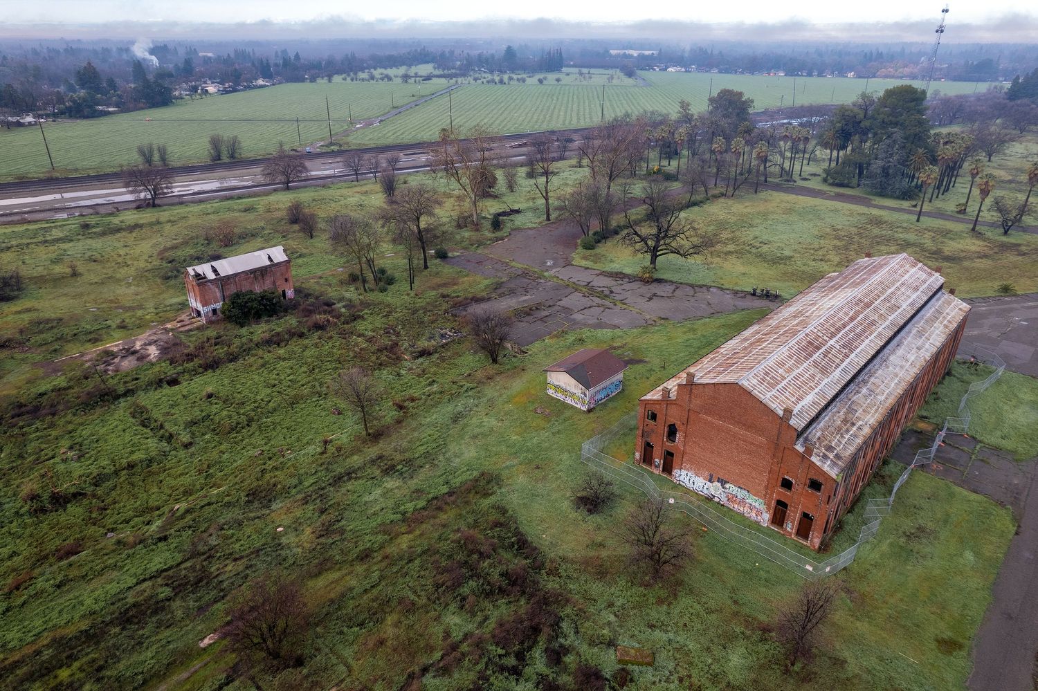
Professional drone photogrammetry provides a safe, non-invasive method for documenting historic buildings with a high level of accuracy and detail. High-resolution aerial imagery and 3D models support preservation planning, condition assessments, and long-term archival documentation while minimizing physical impact to sensitive structures.
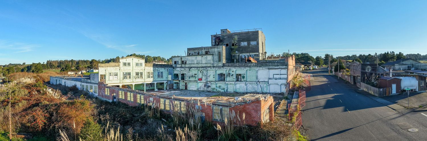
Historic Loleta Dairy 1892
Aerial panoramic photograph taken with DJI Air 3S.
Loleta California.
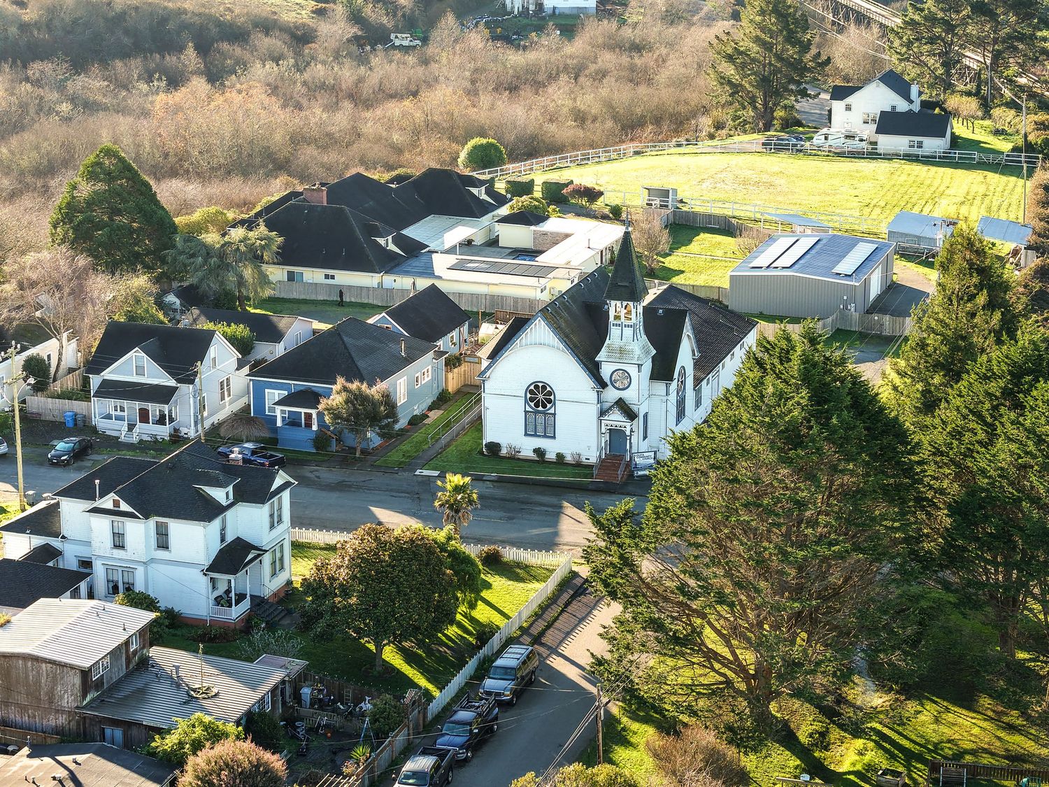
Loletia Community Church
Established 1892