Agricultural Drone Mapping and Harvest Documentation
Aerial Documentation for Agricultural Operations
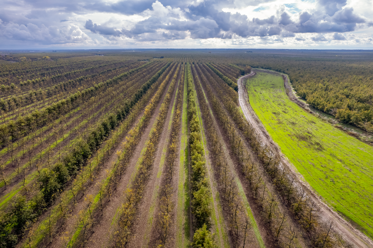
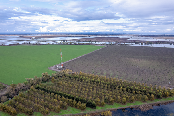
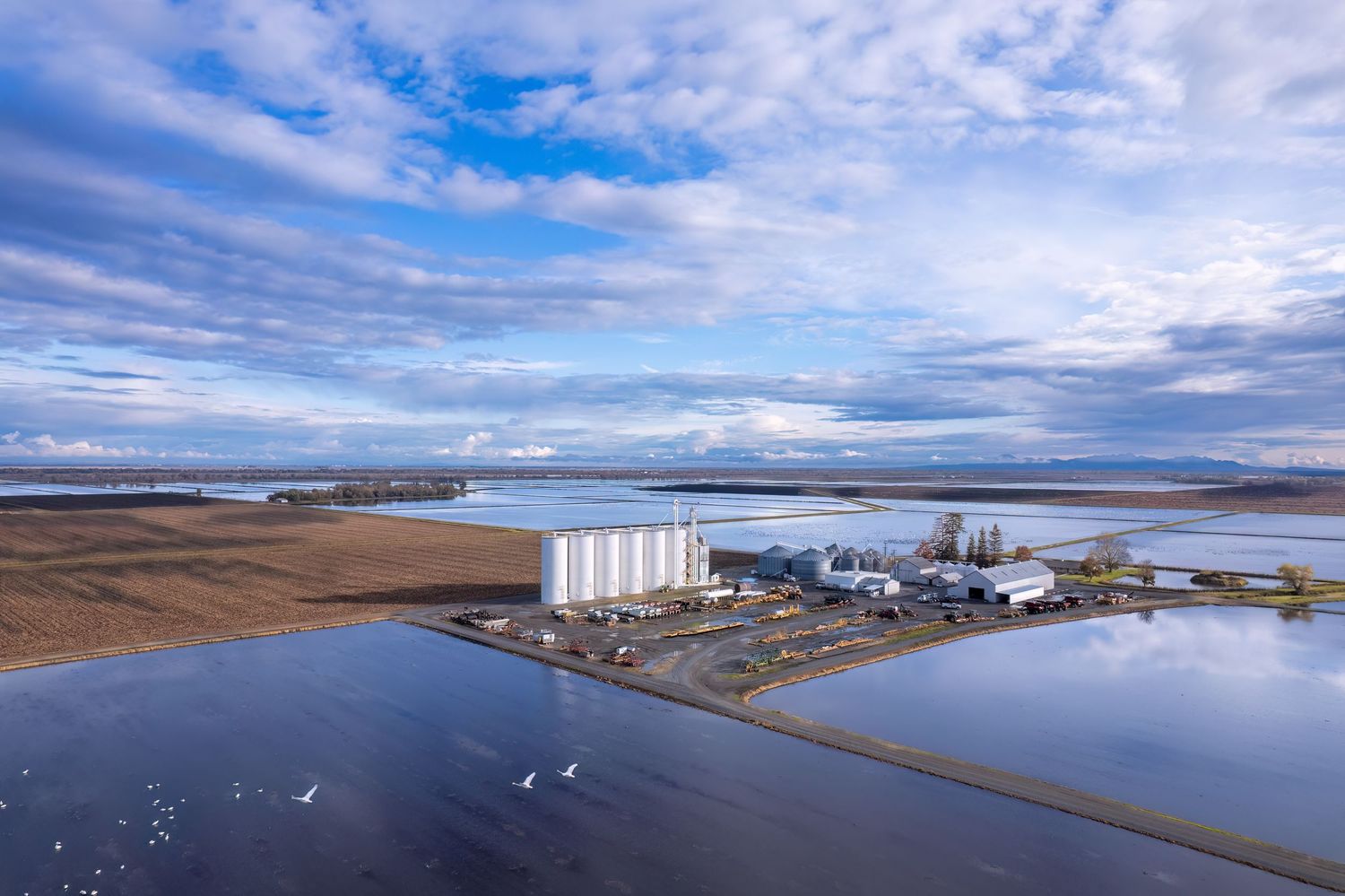
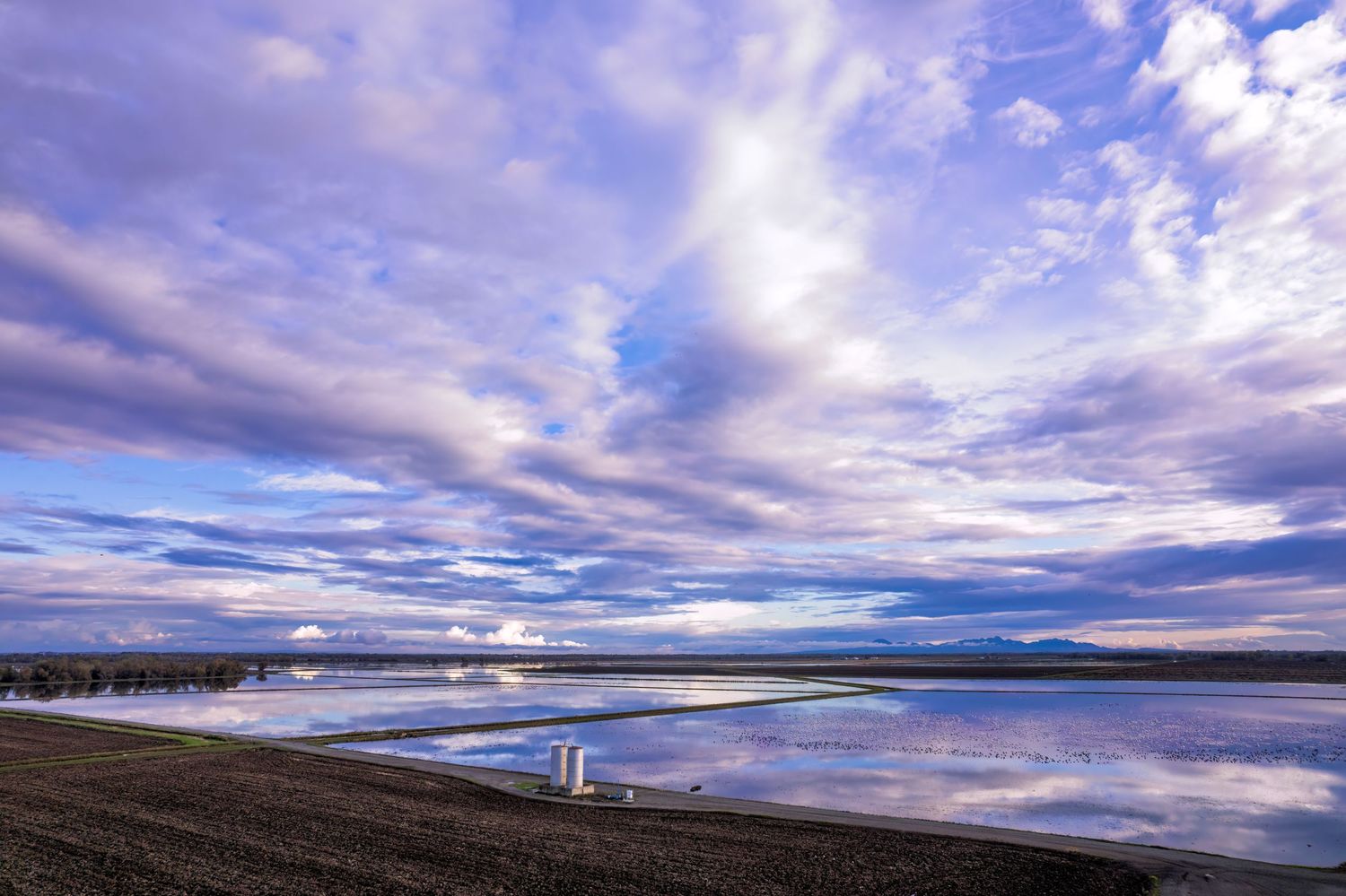
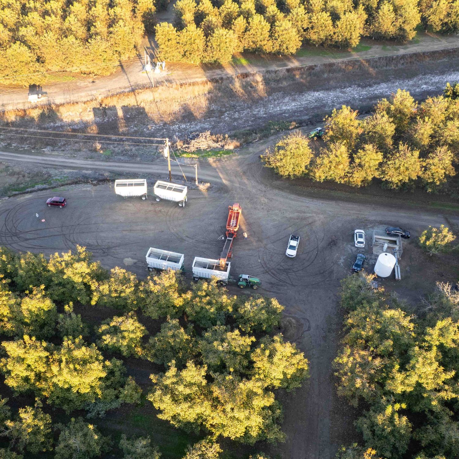
Professional drone photogrammetry supports agricultural planning and harvest documentation through high-resolution aerial imagery and spatial analysis. Using standard RGB photography, drone surveys provide a clear, field-wide view of crop layout, canopy coverage, and access conditions. For harvest operations, this approach helps document field conditions, support logistics planning, and create visual records for reporting and management. Drone-based documentation delivers repeatable, accurate results while minimizing disruption to active agricultural operations.