High-resolution drone mapping and 3D site modeling
Technical Capabilities:
DJI Air 3S professional drone platform
Sub-2cm accuracy orthomosaic mapping
Multi-angle 3D photogrammetry
GIS-compatible deliverables
This project showcases a drone-captured orthomosaic (2D), 3D site model generated from high-resloution JPRG aerial imagery. The orthomap provides an accurate, top-down view of the property, while the 3D model shows spatial understanding of structures, terrain, and layout. These deliverables are ideal for planning, documentation, and visual communication, giving a clear and detailed view of a site without the need for on-site visits.
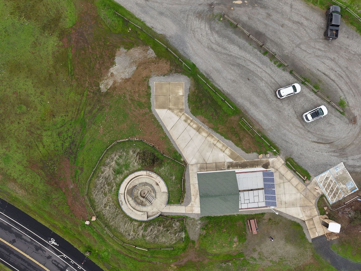
High-resolution JPGE Images
Provide clear area details
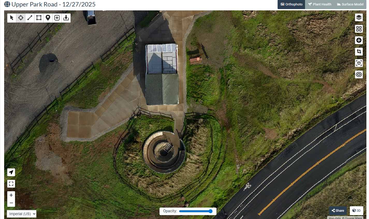
2D Image Caption
Orthomosaic Map
High-resolution, georeferenced Plan view of the site.
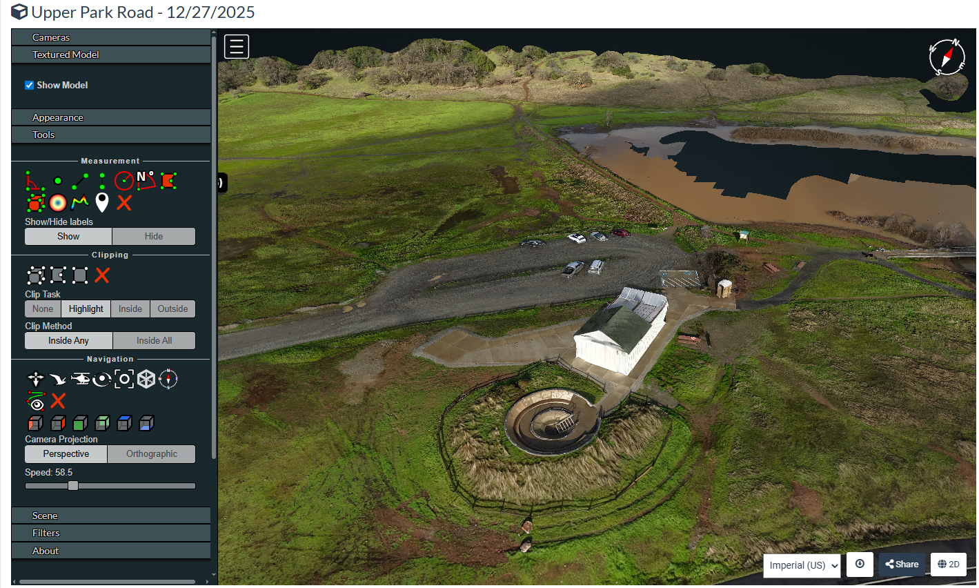
3D Image Caption
3D Site Model
Textured 3D reconstruction showing structures and surface detail.