Professional Drone Roof Documentation: Forest Ranch Project Case Study
December 2025 | Lori Harrington Photography
When a Forest Ranch homeowner needed comprehensive documentation of their roof and solar panel system, traditional ground-level photography wasn't enough. That's where professional drone documentation made all the difference..
The Project
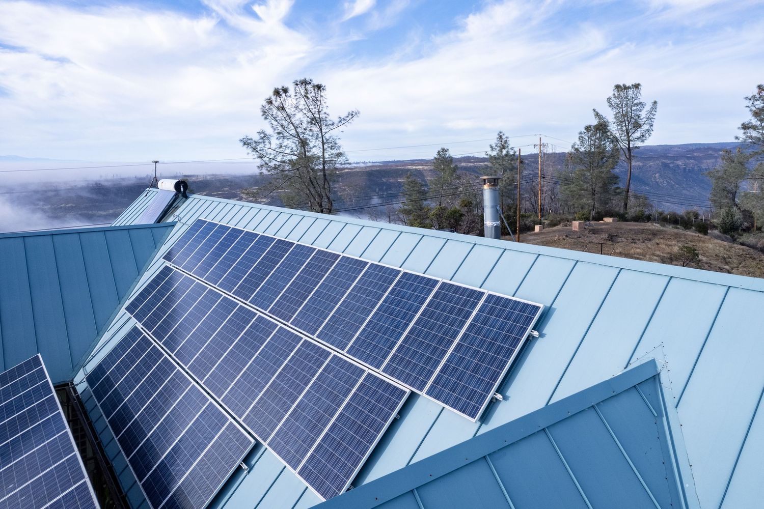
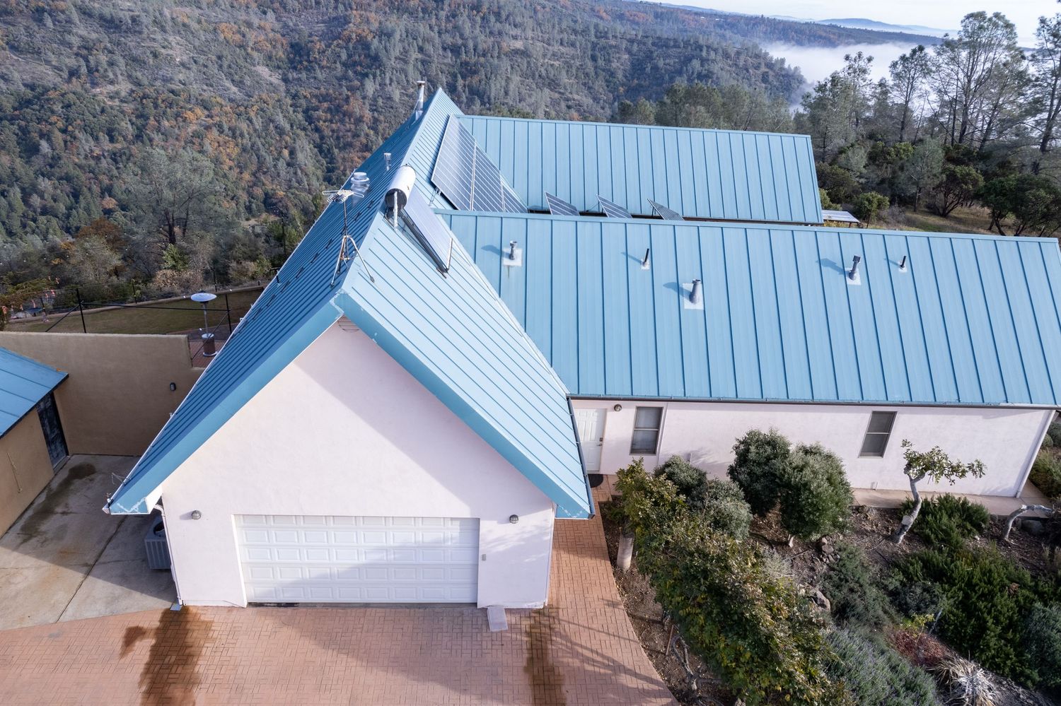
This residential property features a metal roof with an extensive solar panel array covering multiple roof sections. The homeowner needed detailed visual documentation for maintenance planning. Rather than risk climbing onto the roof or relying on limited ground-level views, aerial drone photography provided safe, comprehensive coverage of the entire roof system.
What We Documented
Using the DJI Air 2S drone, we captured multiple perspectives of the property:
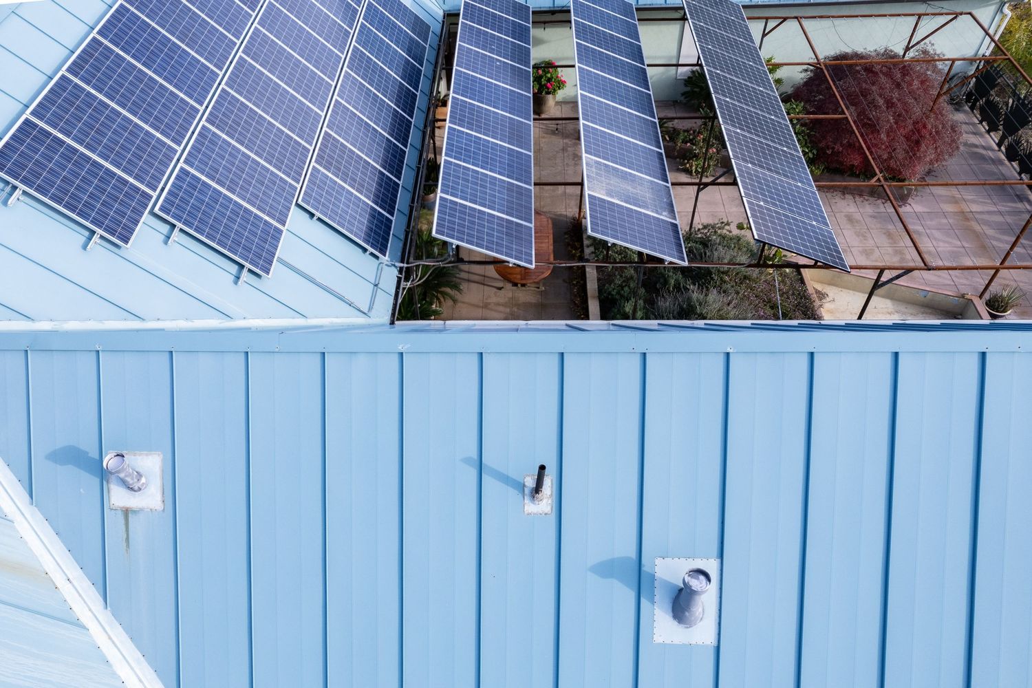
Overhead Views: Complete roof layout showing the full solar panel array configuration and overall roof condition. These top-down shots provide a clear view of the entire roof footprint that's impossible to achieve from the ground.
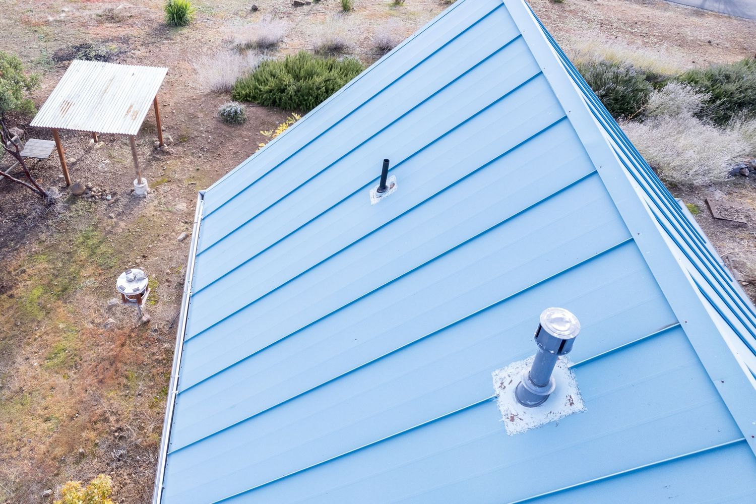
Oblique Angles: Close-up detail shots of roof surfaces, panel mounting systems, and roof penetrations including vents and chimneys. These angled views reveal surface conditions and potential maintenance areas.
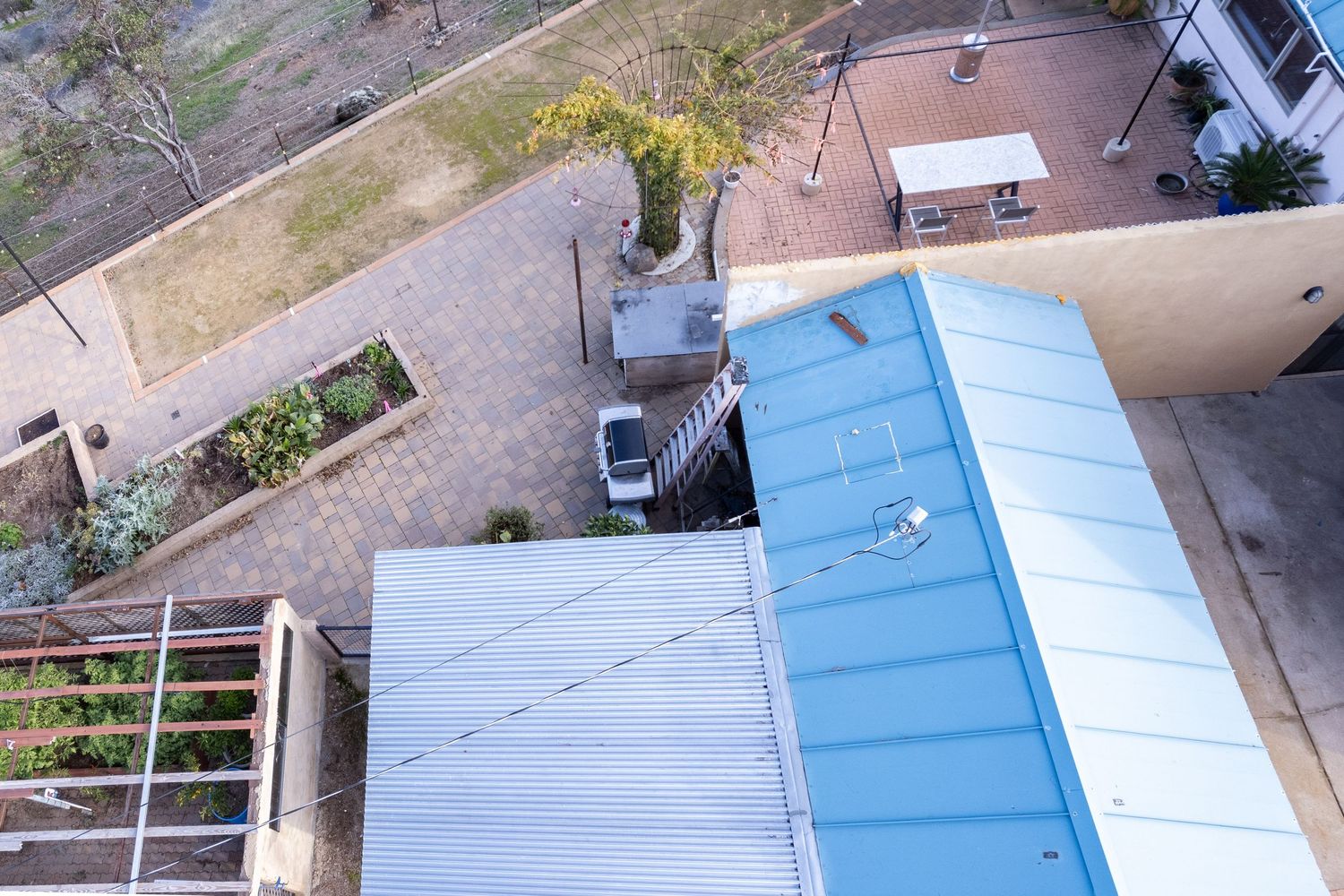
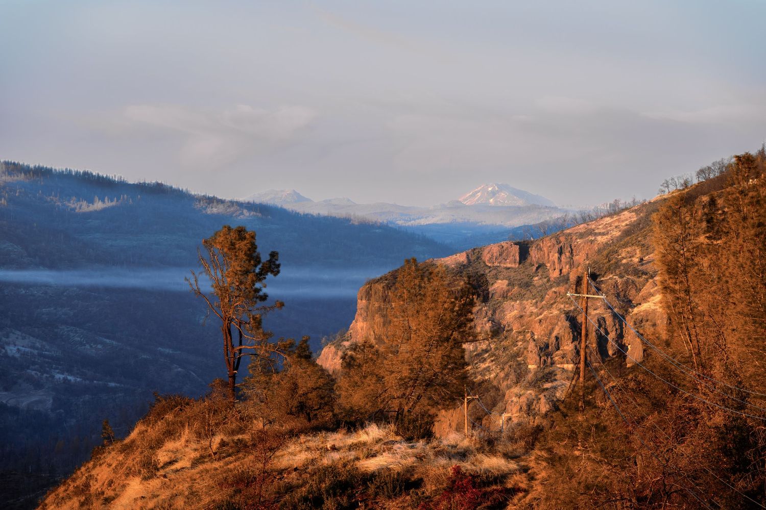
Property Context: Wide shots showing the home in relation to surrounding structures and landscape. This context is valuable for insurance documentation and property records.
Video Walkthrough: A comprehensive aerial video tour providing a dynamic view of the entire property, perfect for sharing with contractors or insurance adjusters who can't visit the site in person.
The Process
Professional drone roof documentation follows a careful workflow:
Professional drone roof documentation follows a careful workflow that begins with pre-flight planning, where I conduct a site assessment to identify the best angles and any potential obstacles or restricted airspace. During flight operations, I systematically cover the roof from multiple altitudes and angles, ensuring every section is thoroughly documented. After the flight, I handle post-processing with professional editing and organization of images and video for easy review and sharing. Finally, digital delivery provides high-resolution files within 24-48 hours, ready for insurance claims, contractor consultations, or property records.
Why Aerial Documentation Matters
Traditional roof inspections often mean someone climbing a ladder—which comes with safety risks and limited visibility. Drone photography eliminates these concerns while providing superior documentation:
Safety First: No one needs to climb onto the roof, reducing liability and injury risk.
Complete Coverage: Capture every angle, including hard-to-reach areas like steep slopes or high peaks.
Detailed Records: High-resolution imagery shows surface conditions, wear patterns, and potential issues.
Time Efficient: Complete documentation in under an hour, compared to hours of ladder work.
Shareable Documentation: Digital files are easy to share with insurance companies, roofing contractors, and property managers.
Important Distinction.
It's crucial to understand that drone roof documentation provides visual records—not certified inspections. As a FAA Part 107 certified drone pilot, I provide high-quality aerial photography and video. However, this documentation should support—not replace—professional roof inspections by licensed contractors or structural engineers.
The visual documentation I provide helps homeowners, insurance adjusters, and contractors see the complete picture, but structural assessments and official recommendations should always come from certified roofing professionals.
Applications for Roof Documentation
This Forest Ranch project is just one example of how aerial roof documentation serves property owners. Homeowners use these services to document storm damage or to file insurance claims with comprehensive visual evidence. Potential buyers request pre-purchase inspections to get a clear view of roof conditions before closing on a property. Property owners rely on aerial documentation for maintenance planning, tracking roof aging over time and planning for repairs or replacement. Contractors use the detailed aerial views for accurate bid preparation, while solar companies document existing solar systems or plan new installations. Property managers find aerial documentation particularly valuable for maintaining visual records of multi-unit properties or commercial buildings.
Serving Northern California
Based in Chico, I provide professional drone roof documentation throughout the North State, including Butte County, Tehama County, and Glenn County. Whether you need documentation for a residential property in Paradise, a commercial building in Red Bluff, or an agricultural structure in Oroville, FAA-certified drone services are available.
Ready to Document Your Roof?
If you need comprehensive aerial documentation of your roof—whether for insurance, maintenance planning, or contractor estimates—professional drone photography provides safe, thorough coverage at a reasonable cost.
Contact Lori Harrington Photography:
Email: LoriHarringtonPhotography@gmail.com
Website: www.loriharrington-photography.com
Phone: 530.521.8046
View our complete Roof Documentation Portfolio or learn more about our Roof Survey Services.
Lori Harrington Photography is a FAA Part 107 certified commercial drone operation based in Chico, California, providing aerial photography services throughout Northern California.